
The Farmington Canyon road (Skyline Drive) was built by the Civilian Conservation Corps during the 1930s and provides a steady climb of about 2000 feet (about 400 feet per vertical mile) before branching into Francis Peak Road and the remaining section of Skyline Drive.
This road is one of Utah’s ‘scenic backways’ and provides dramatic views of the valley The road begins with about a mile of pavement and then turns to wide graded dirt that provides a relatively smooth and steady ride. Automobiles, ATVs and motorcycles can use this road so use caution and be mindful of traffic.
It is about 7.5 miles from the canyon entrance to the Skyline Drive/Francis Peak Road junction. The canyon is closed to automobiles during the winter.
PHOTOS

Beginning of the dirt

First switchback
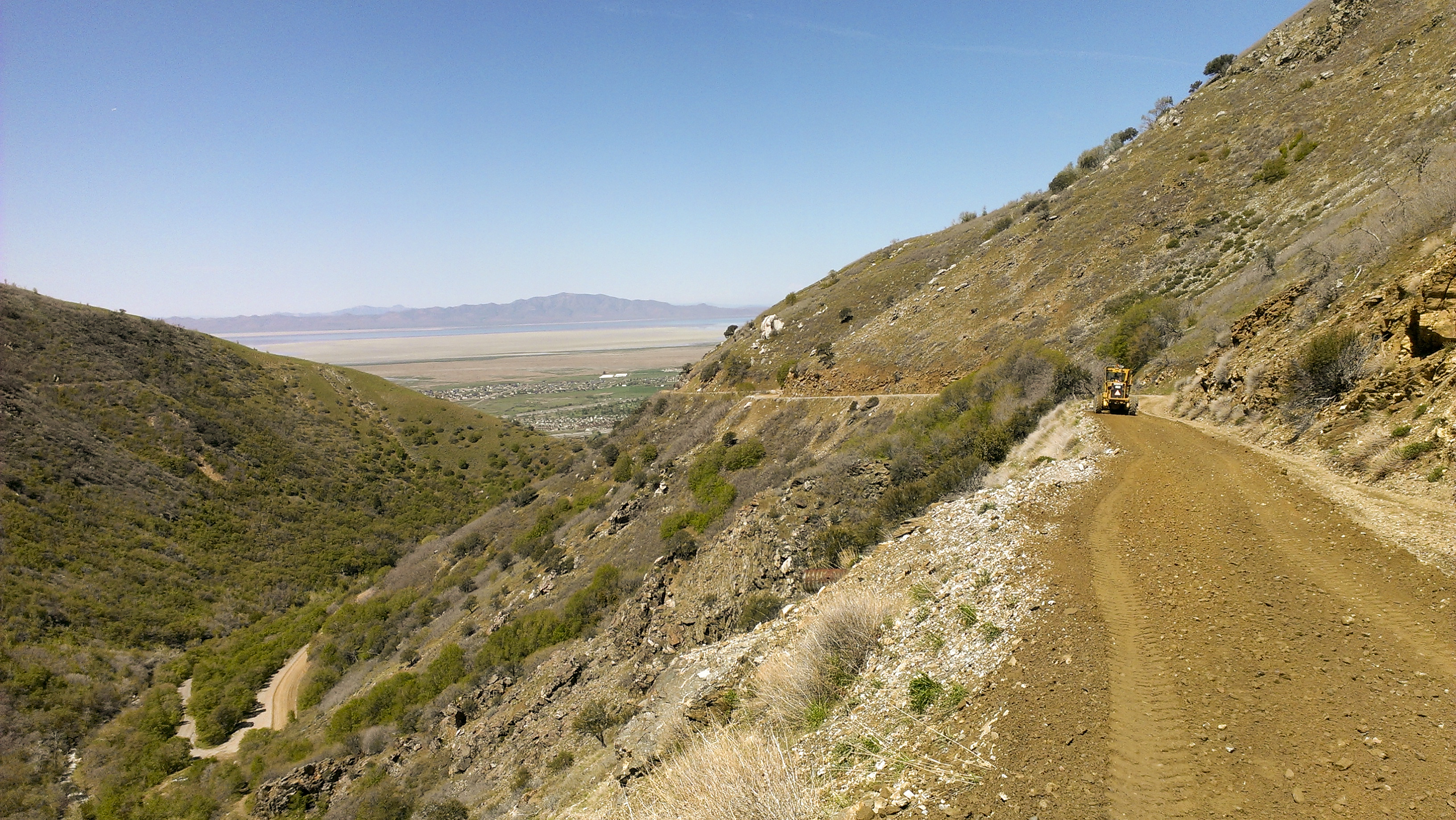
Excavators on the road

Cloud shadows in the canyon

Valley view (about 3 miles along)

Cash for clunkers?

Sunset Campground

One of two paved bridges in the canyon

Near the top of the canyon

Francis Peak Road closed October through June

Upper Skyline Drive closed October through June

Top of the Canyon (Upper Skyline Drive gate on left)
MAP
